


Feeding Lake Mead
Managing water levels and flow through rivers systems and reservoirs might rightly be considered watershaping on the grandest possible scale. That unique skillset has come into play in a big way recently as refreshened water resources are distributed through drought-worn Colorado River system.
By Eric Herman
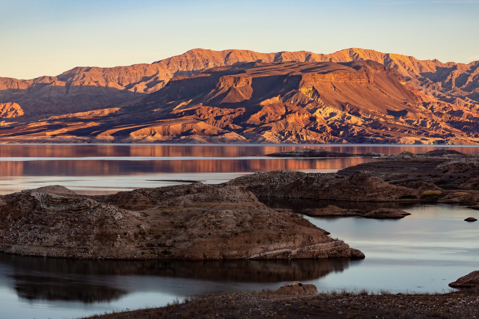
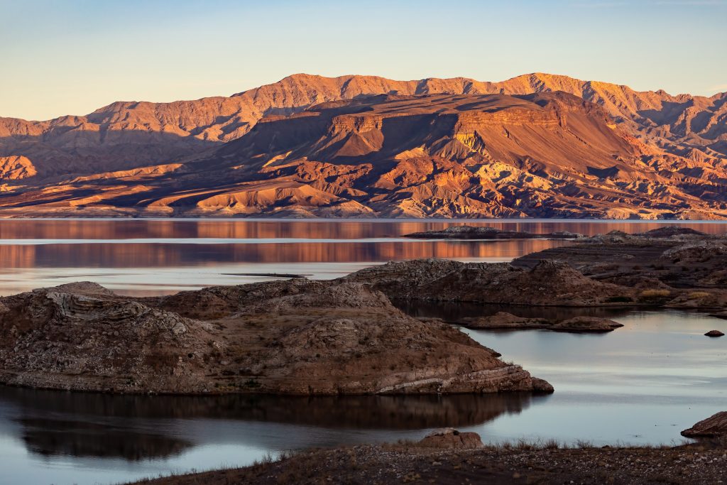
Images of Nevada’s Lake Mead’s growing “bath tub ring” have been have become iconic representations of the ongoing drought that has gripped the American Southwest for more than two decades.
The images of beached marinas, sunken boats re-emerging after years on the lake bottom and most famously corpses of people long forgotten. This leaves many wondering if those scenes are the harbinger of a much dryer and desolate future; or, is it all simply a cyclical condition? No one knows.
Recent precipitation from multiple “atmospheric rivers” have increased water supplies, easing the immediate effects of the drought. However, the Colorado River system and particularly Lake Mead — the nation’s largest man-made reservoir — remain at a critically low level, threatening water supplies to over 40 million people and the Hoover Dam’s ability to generate electricity. At this writing, Mead is at a parched 26% of capacity.
That’s why water managers from the U.S. Bureau of Reclamation took a bold step.
A massive release of water from Lake Powell (in Northern AZ / Southern UT) sent water on a two-day journey through the Grand Canyon to Lake Mead.
The water release from the Glen Canyon Dam, which started April 25, is known as a High Flow Experiment (HFE). In addition to ultimately bolstering water levels in Lake Mead, the HFE was meant to also benefit natural riparian areas, particularly in the Grand Canyon. “The idea is to kind of mitigate that sand loss, and keep things close to the way they were before the Glen Canyon Dam was constructed,” said Bob Tusso, a U.S. Geological Survey hydrologist.
Sandbars provide camping space and fishing spots and also protect important archaeological sites throughout the Grand Canyon and across the Colorado River. “In a general, larger picture, it’s a national park, and the way the river was before the dam came in has changed a lot,” Tusso said
The last time the Feds conducted an HFE was in November 2018 and had been doing them sporadically since 1996. Lake Powell, much like Lake Mead, has seen its water level fluctuate during the drought. The last time it reached capacity was 40 years ago in the summer of 1983.
That summer, Reclamation released more than 100,000 cubic feet per second (cfs) to lower the reservoir and help the downriver canyons. During the current HFE, Reclamation allowed 39,500 cfs of water through the dam for 72 hours, through April 27.
Lake Mead is now projected to rise 33 feet higher than expected this year because of snowpack levels in the Upper Colorado River Basin, according to Reclamation.
While all this water flowing downriver is great news for farmers, boaters, and the 40 million people who rely on Colorado River water, it’s really a drop in the proverbial bucket.
Reclamation says this year’s record snowpack melt from the Colorado Rockies will bring both Lake Powell and Lake Mead. Estimates of just how much vary. It’s going to take more than one good year to refill the Colorado River basin bucket.
Photo by James Marvin Phelps | Shutterstock